AI Face Recognition and Satellites: High-Tech Panda Protection
Key Fact: The intersection of artificial intelligence and panda conservation has produced remarkable tools: AI algorithms that identify individual pandas by their unique eye patch patterns with 93% accuracy, processing millions of camera trap images in hours rather than months. Satellite systems that monitor bamboo forest health from orbit, detecting illegal logging and habitat change in near-real-time. These technologies are not replacing the rangers and scientists who protect pandas — they are amplifying their effectiveness, making panda conservation faster, more precise, and more data-driven than ever before.
Key Takeaways
-
AI can identify individual pandas by eye patches with 93% accuracy, revolutionizing camera trap analysis.
-
Satellite monitoring provides real-time habitat surveillance across the entire Giant Panda National Park.
-
Technology amplifies human conservation effort — it doesn’t replace it.
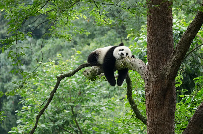
The panda eye patch, explored in our article on panda camouflage and communication, is as individually distinctive as a human fingerprint. The AI system at the Chengdu Research Base exploits this: trained on thousands of photographs of known pandas, the algorithm learns the subtle variations in eye patch shape, size, and orientation that distinguish one panda from another. When a camera trap image is uploaded, the system identifies the panda within seconds.
This capability transforms the camera trap network described in our article on infrared camera monitoring. Instead of human analysts spending months reviewing millions of images, AI pre-sorts the data, flagging panda images for human verification and cataloguing everything else automatically. The same technology enables rapid re-identification of pandas that move between camera trap locations, providing more detailed movement data than GPS collars alone.
Satellite technology provides the landscape-scale perspective that ground-based monitoring cannot. Satellites track forest cover changes across the entire 27,000 square kilometers of the Giant Panda National Park, detecting illegal logging, agricultural encroachment, and the effects of landslides or fires. The technology is not perfect — cloud cover in the perpetually misty panda mountains limits optical satellite use — but synthetic aperture radar, which penetrates clouds, is increasingly filling that gap.
Together, AI and satellite monitoring create a surveillance infrastructure that would have been unimaginable when the first panda survey teams walked transects through the forest in the 1970s.